TL;DR —
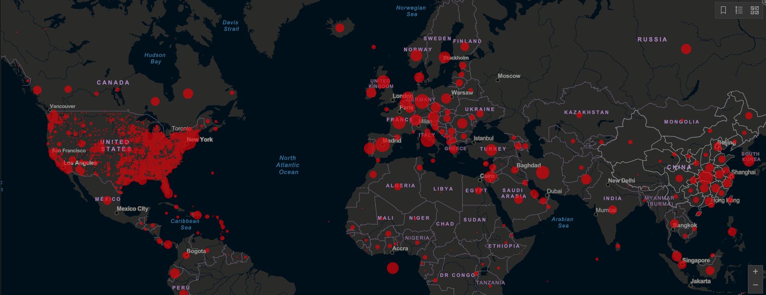
The Novel Corona Virus or the COVID-19 is wreaking havoc and it is not the first or last of such infectious diseases we have to face. In the recent past, we have also seen massive outbreaks of new infectious diseases like MERS, SARS,. and. MERS Virus, Ebola Virus, H1N1 Swine Flu, Bird Flu, etc. in different parts of the world. We believe that there are potentially more harmful diseases coming our way. We hope it doesn't happen but when it comes to infectious diseases such as CoronaVirus, geospatial data can be really helpful.
[story continues]
Written by
@ramiz
Freelance Web-GIS developer. I write about GIS because I love it.
Topics and
tags
tags
gis|geospatial|coronavirus|covid-19|location-based-technology|healthcare|data-science|pandemic
This story on HackerNoon has a decentralized backup on Sia.
Transaction ID: VUT5mmbhVlX0xDlmCX56c5esY-sh7yMrocfY_2H1mCg