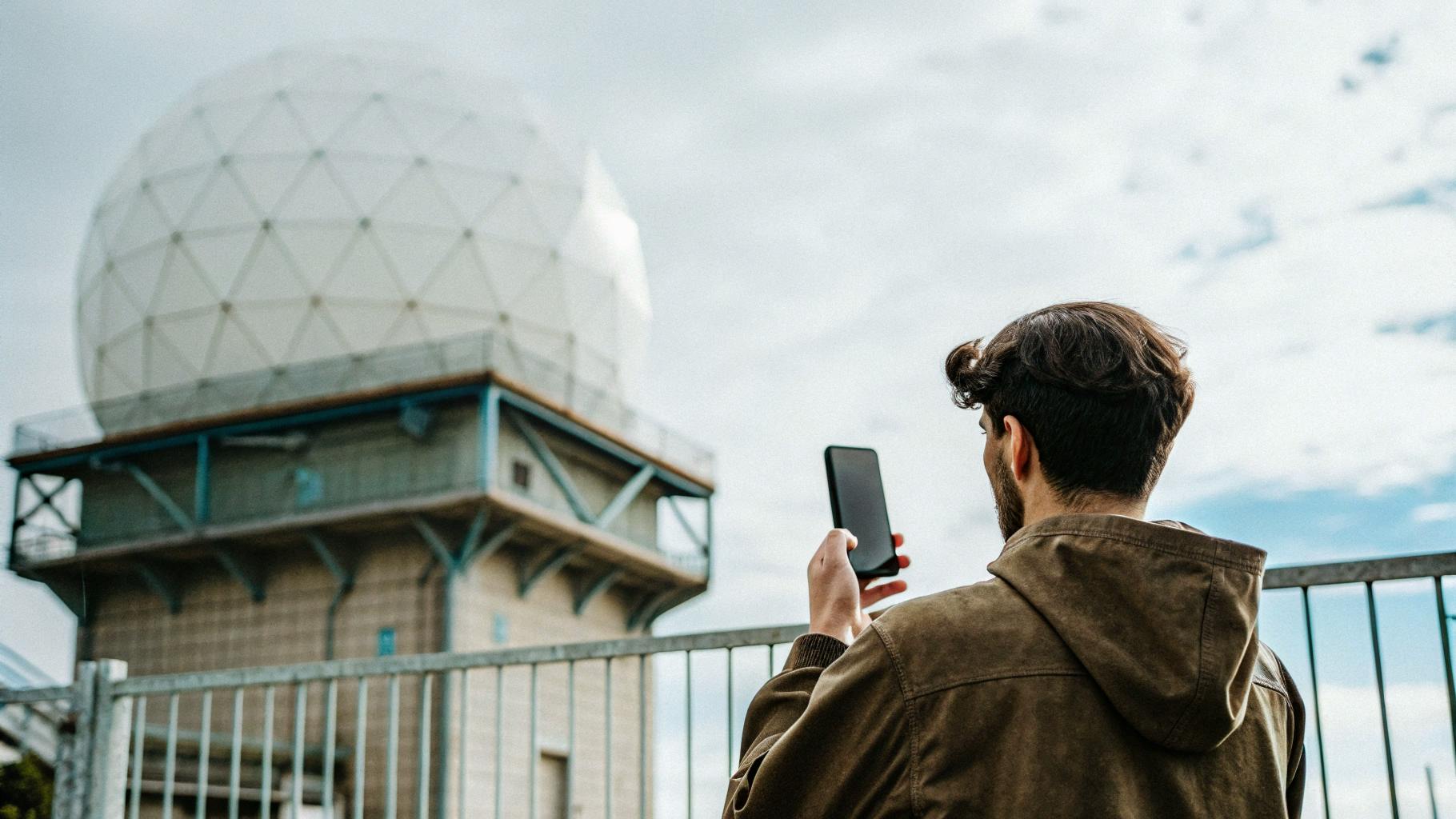
For decades, consumer weather apps have been mostly UI wrappers around the same radar feeds, the same numerical models, and the same “will it rain in the next hour?” promise. But the underlying radar and computation landscape is changing faster than most people realize.
If you work in mobile, mapping, forecasting, ML infrastructure, or edge computing, the next two to three years of weather-tech will look radically different from the past ten. The leap comes not from prettier maps – but from scale: more data, higher resolution, faster refresh, lower latency, and increasingly autonomous processing.
Here’s what’s coming.
Radar Data Is About to Get Much Bigger — and Faster
Global radar networks are upgrading quietly but aggressively:
- higher resolution beams
- denser station coverage
- faster scan cycles (even sub-minute experiments)
The result: massive growth in data volume. Radar is turning from occasional images into near-continuous streams. The core challenge is no longer access – it’s processing speed.
The Real Innovation Is Latency Reduction
As datasets grow, old pipelines break.
The competitive frontier becomes:
- faster compositing
- better noise filtering
- earlier detection of severe events (tornado signatures, microbursts, hail cores)
- smoother interpolation between frames
A 30-second earlier detection window sounds small, but in meteorology it’s enormous. Precision begins not in the UI, but in compute.
AI Isn’t Replacing Forecasters – It’s Redefining Forecasting
Today, artificial intelligence can forecast weather – and increasingly well. But its impact goes far beyond generating predictions:
- accelerating and optimizing radar-processing code
- designing new architectures for nowcasting
- enhancing radar frames through ML upscaling and de-noising
The forecasting models of the next decade won’t be purely handcrafted – they’ll be co-designed with AI, trained on radar datasets at scales no human team could manage manually.
Processing Must Scale as Fast as the Data
More resolution + more stations + faster refresh = an avalanche of data.
To handle it, systems must evolve into:
- streaming architectures
- GPU-accelerated compositing
- edge-assisted prediction
- smarter degradation of non-essential data
Performance – not UI polish – will decide who survives the next era of weather technology.
Weather Apps Have 3-5 Years Before Assistants Take Over
The biggest shift isn't meteorological – it’s behavioral.
We’re moving from:
“Open an app, check the radar” to: “Assistant, warn me if a storm is forming behind me.”
AI companions will soon:
- generate radar snapshots on demand
- whisper storm alerts through earbuds based on head direction
- display countdowns to rain in AR glasses
- coordinate commutes and plans automatically
Weather apps won’t disappear, but they’ll be background data providers for AI ecosystems.
Their era as primary interfaces is ending.
What Stays Constant: Radar as Ground Truth
No matter how advanced AI becomes, radar remains the most robust real-time measure of precipitation.
Everything else (ML models, assistants, alerts) depends on radar’s accuracy and speed.
Whether viewed through an app like Rain Viewer or silently consumed by an AI agent, radar will still anchor the system.


